Introduction
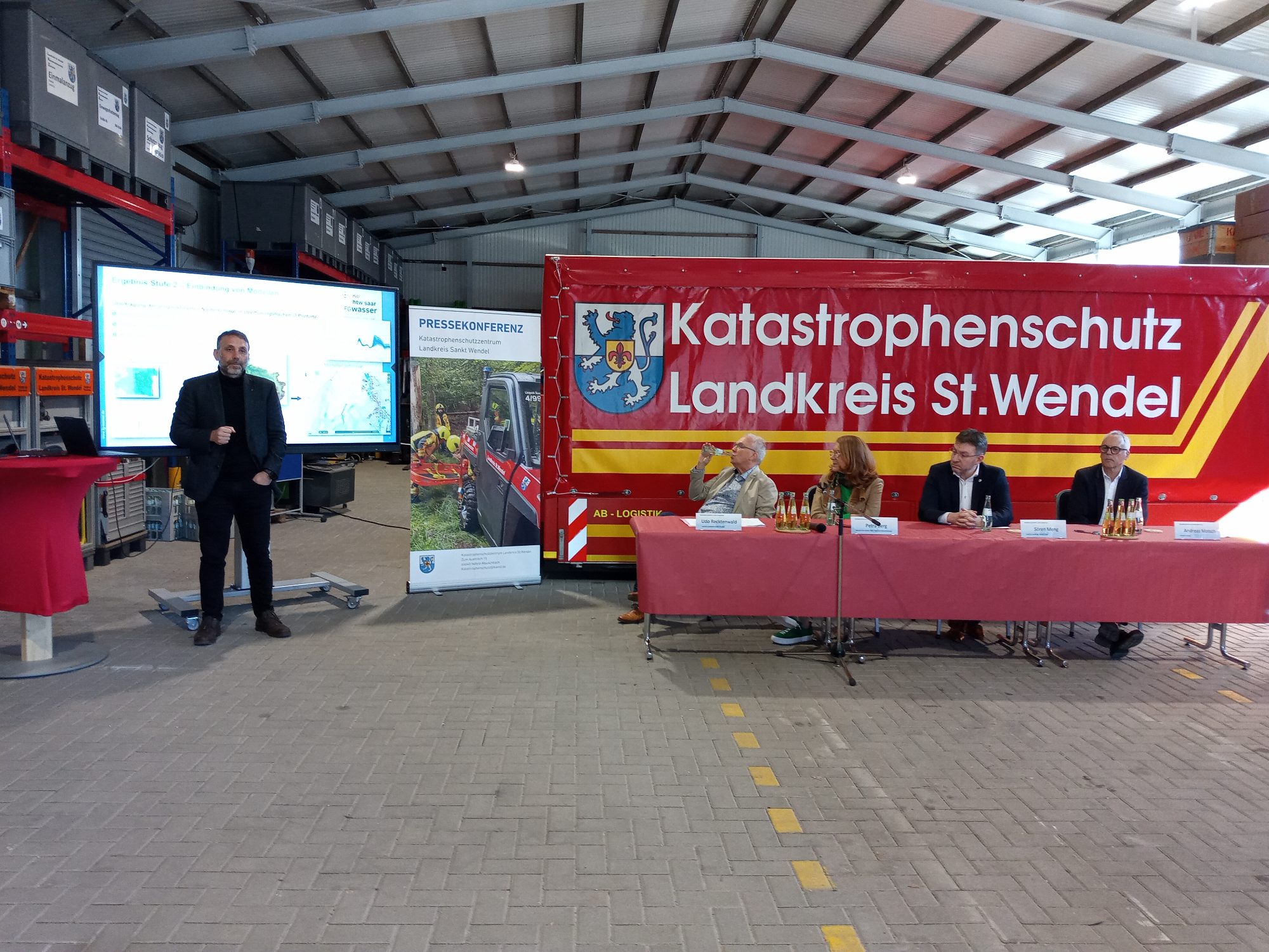
KliGAS Blies is the R&D lead project in Saarland for developing an early warning system for climate hazards – initially for the pressing issues of floods and heavy rainfall, and later to be extended to other climate hazards such as heat, drought, fires or storms. It is carried out together with the districts along the Blies river: St. Wendel, Neunkirchen and the Saarpfalz district. The project is funded by the Saarland Ministry for the Environment, Climate, Mobility, Agriculture and Consumer Protection (MUKMAV).
It is divided into several stages. In particular, over the coming five years, novel approaches to flood forecasting will be investigated, including with the help of artificial intelligence.
Extensive basic data such as gauge information, precipitation and wind measurements and forecasts are used. These are evaluated automatically and around the clock in computational models, and warning messages are issued when a hazard is detected. KliGAS gives public decision-makers from politics and municipalities, as well as civil protection and fire brigades, an important basis for decisions before and during disaster situations.
After the research work is completed, the system from the lead project KliGAS Blies is to be extended to the whole of Saarland. KliGAS has also already become a nationwide flagship project of Saarland in water management – inquiries have already been received from other federal states. In such a comprehensive project, which is also intended to serve disaster protection authorities as a decision-making tool in emergencies, many further aspects are being investigated, including cybersecurity, the reliability of weather models and measurement systems, aspects of alerting and deployment planning, the security of critical infrastructure, and the visualization of the forecasts for citizens.
Stage 1 – completed
The first stage of KliGAS Blies has already been completed. An early warning system was developed using the Delft-FEWS software for the Blies catchment area, integrating existing measurement systems, DWD data and measurement data from the LUA (State Environment Agency). An extensive measurement network with gauges, rain gauges and weather stations was also set up and integrated. The system is in live operation, serves as the basis for stage 2 – and is already in use by the civil protection authorities of the participating districts.
How the flood forecast works
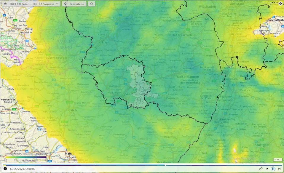
1. Basic data: precipitation forecast
Text to follow.
2. Catchment-specific precipitation forecast
Text to follow.
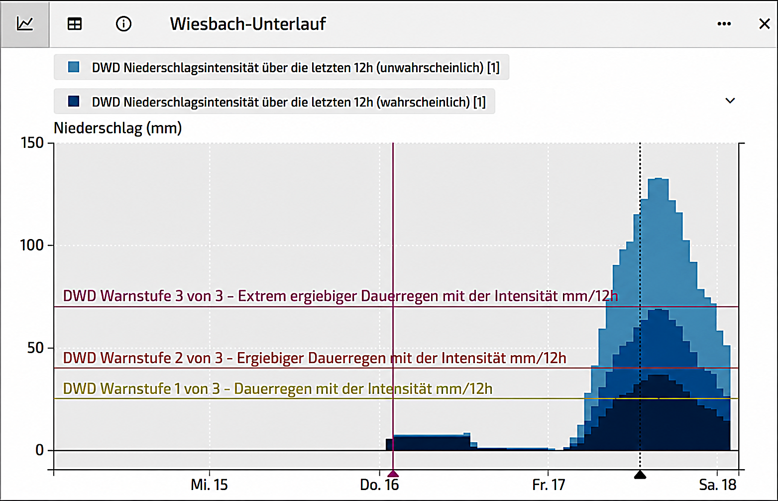
3. Calculation of the flood forecast
Text to follow.
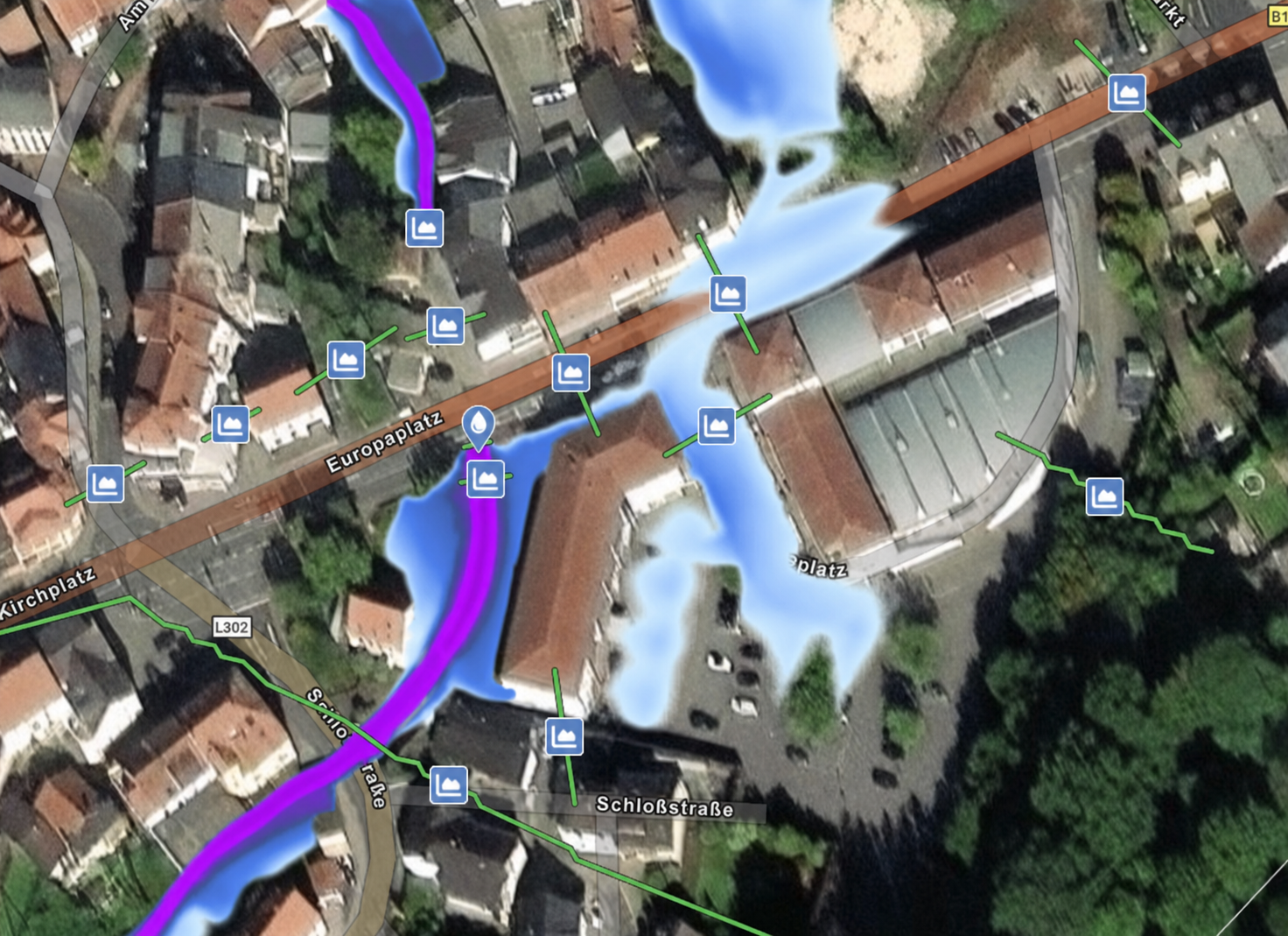
4. Flood forecast 2D
Text to follow.
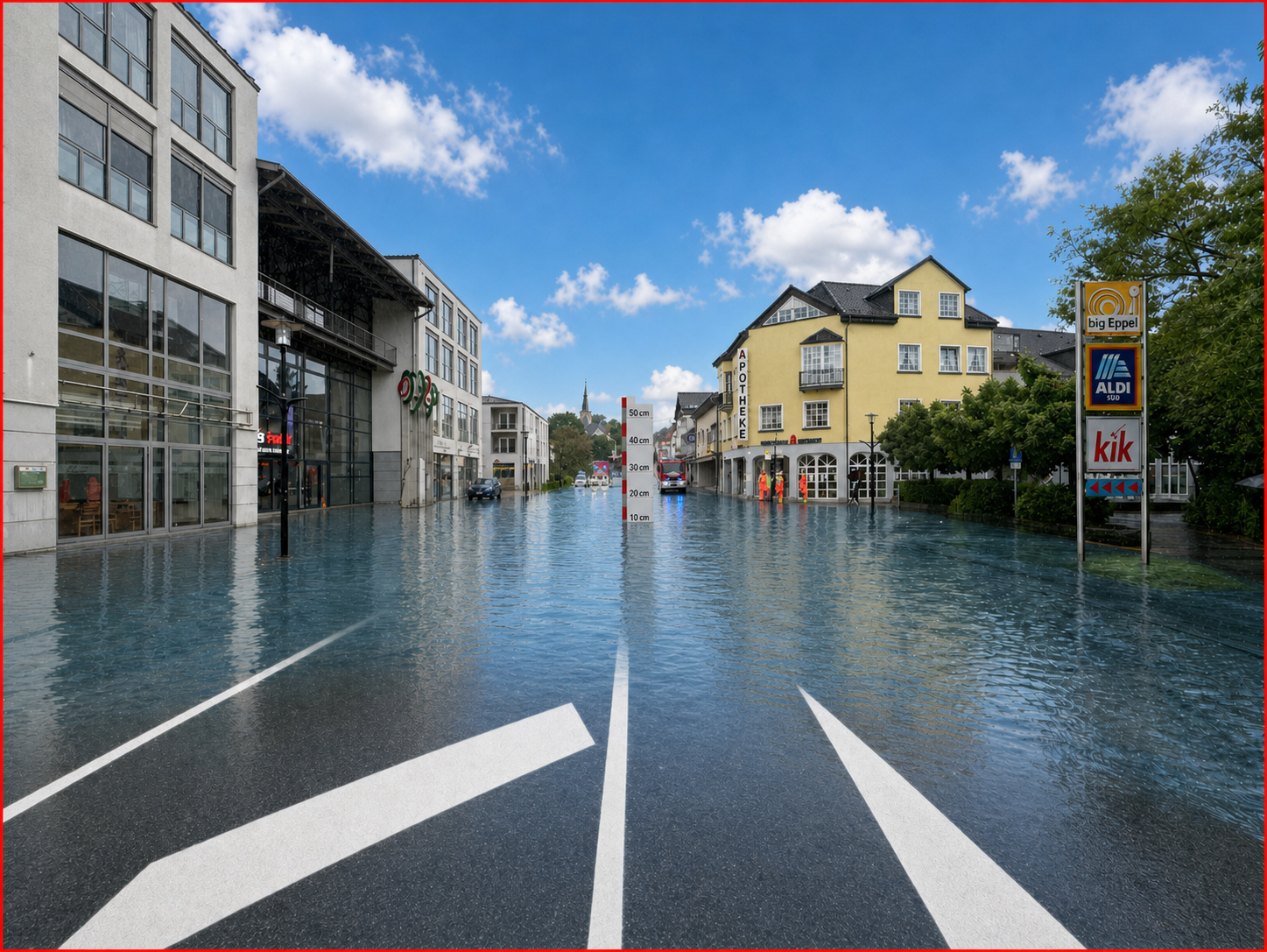
5. Flood forecast 3D
Text to follow.
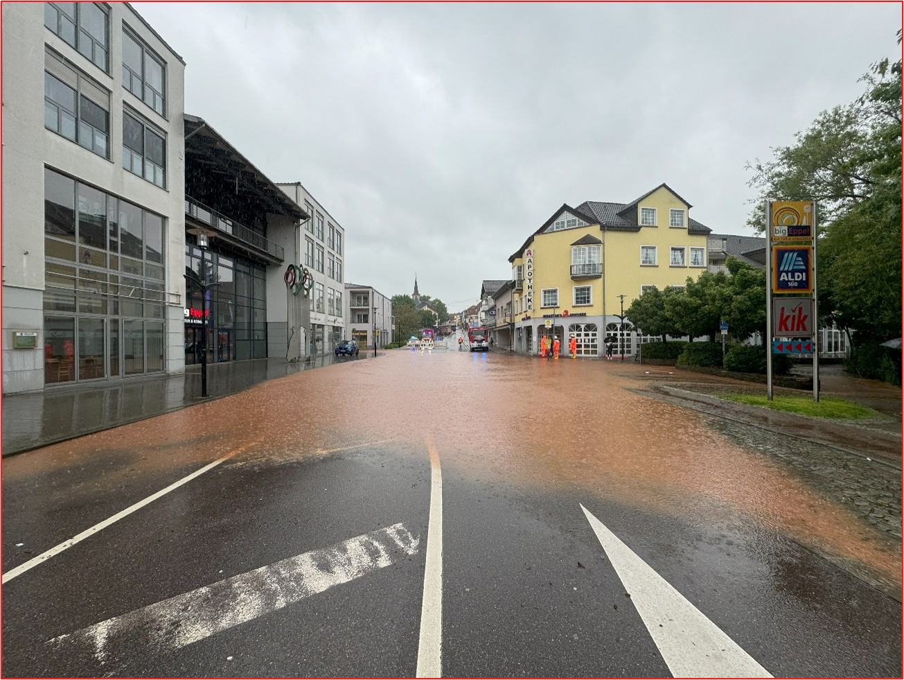
6. Flood that actually occurred
Text to follow.
Funded and supported by